Emily Farr
Senior Fisheries Program Manager
Emily Farr, Senior Fisheries Program Manager at Manomet Conservation Sciences, discusses the challenges facing Maine’s wild shellfish fishery, from coastal gentrification impacting intertidal access to the threats posed by sea level rise. In this Q&A, she shares insights on how Manomet collaborates with harvesters, towns, and land trusts to safeguard access and support resilient coastal communities. Discover how participatory mapping, innovative data tools, and community partnerships are driving impactful change along Maine’s coast.
Q: Why is Maine’s wild shellfish fishery so important to coastal communities?
Emily Farr: Shellfish are vital to the cultural, social, and ecological fabric of Maine’s coastal communities and have been harvested by Wabanaki people for millennia. They support local economies and play a crucial role in sustaining the coastal environment. Commercial harvesters are not just fishers—they’re stewards of these resources, actively contributing to the health and sustainability of the ecosystem.
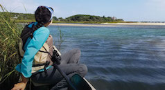
Q: What challenges are harvesters facing when accessing intertidal mudflats?
Emily Farr: Coastal gentrification is a significant issue. As coastal property ownership changes, harvesters are losing traditional access points to mudflats. Many have relied on informal, handshake agreements with private landowners for generations, but these are becoming less reliable. This loss of access is part of a broader trend affecting working waterfronts across Maine.
Q: How is Manomet helping to address these access challenges?
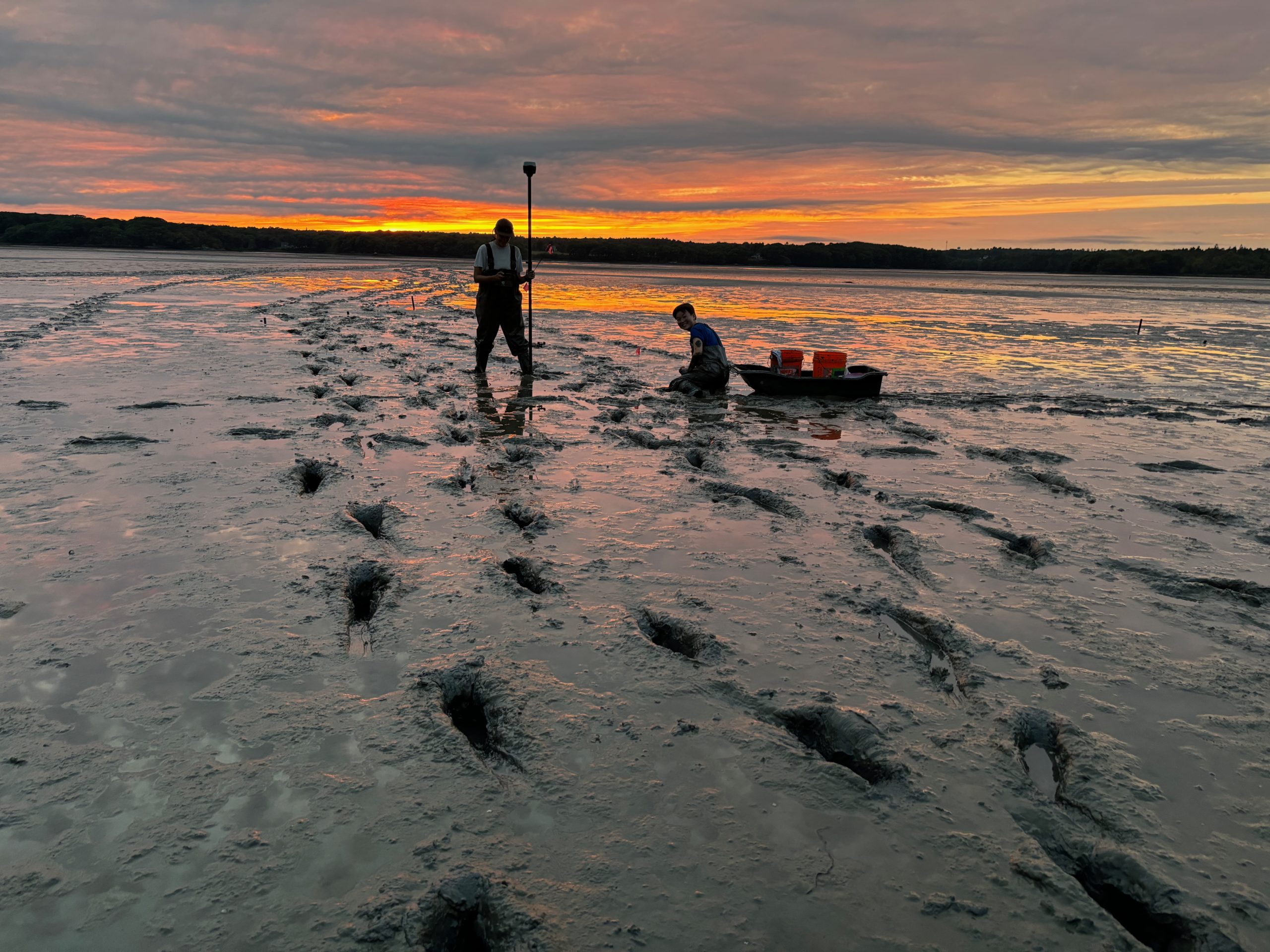
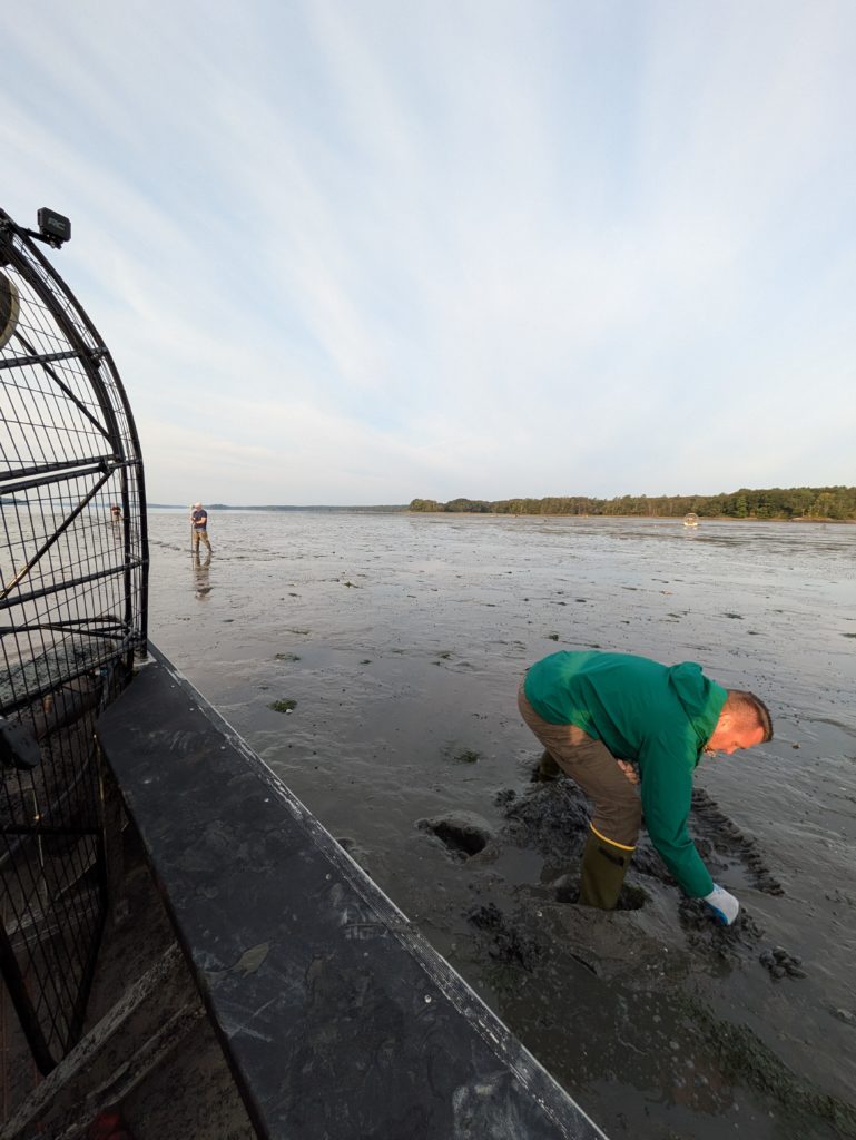
Emily Farr: We’re working closely with shellfish committees, town staff, and harvesters to map out access points, documenting things like ownership, legal status, and infrastructure. This information helps towns plan and prioritize where to secure permanent access, ensuring harvesters can continue their livelihoods. We also collaborate with land trusts and engage in outreach to educate landowners about the cultural and economic importance of maintaining traditional access routes.
Q: How does sea level rise threaten Maine’s mudflats and shellfish fisheries?
Emily Farr: Sea level rise is a growing concern. It not only threatens to submerge mudflats but also shifts the low tide line, reducing the window of time harvesters have to work. It also impacts access points, including the roads that are used to reach the shore. This impacts the species that depend on these habitats and the communities whose livelihoods rely on them.
Q: What innovative approaches is Manomet using to study these impacts?
Emily Farr: We’re layering different types of knowledge, including harvester knowledge and observations, LiDAR data, and drone surveys, to map how low tide lines and mudflat habitats might shift under various sea level rise scenarios. By collaborating with local harvesters, we gain a historical and real-time perspective that complements scientific data, leading to more effective questions and methods, interpretation of data, and planning tools.
Q: What has been the most rewarding aspect of this work for you?
Emily Farr: The relationships we’ve built with the harvesters and coastal communities are incredibly rewarding. Their knowledge and stewardship of these resources are invaluable. Working together to find solutions that support both the environment and local livelihoods is deeply fulfilling and reinforces the importance of community-driven conservation.
Q: What’s next for Manomet’s Fisheries Program?
Emily Farr: We’re focused on expanding our mapping efforts to other communities and refining tools that help towns plan for the impacts of sea level rise. Our goal is to build resilience by equipping communities with the knowledge they need to adapt and thrive in a changing coastal environment.